What is Country Shapes?
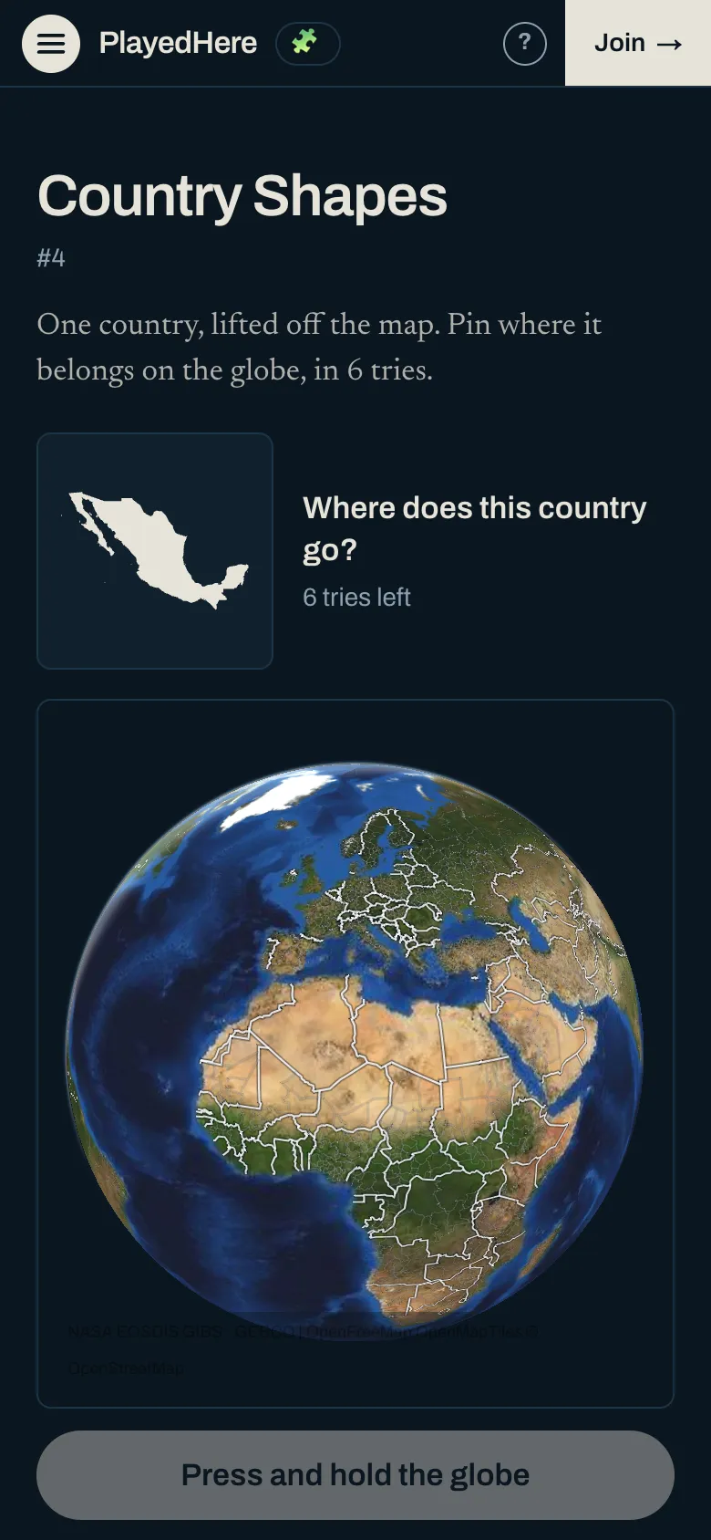
Country Shapes is a free daily geography game. You are shown the shape of one country, lifted off the map, and you pin where it belongs on a globe.
The shape is drawn to fill its box, so size tells you nothing: a very small country and a very large one arrive the same width. What you have is the coastline, the borders and which way is north.
What it looks like
A new one every day
One country a day, new at midnight Central Time, the same for everyone. It is one of 164 sovereign states; the very smallest are left out because their outlines are too simple to tell apart.
How to play Country Shapes
- 1Look at the outline. North is up.
- 2Press and hold the globe to drop a pin on the country you think it is. The button names it before you lock it in.
- 3A wrong pin tells you how far away you were, measured border to border.
- 4You have 6 tries.
Tips
- A long straight edge is usually a coast or a border drawn with a ruler. Both narrow the search quickly.
- Far-off territories are left out of the drawing, so the shape is the mainland you would recognise.
- Use the first wrong pin as a measurement. Zero kilometres means the answer touches the country you picked.
More daily games
Same idea, different subject. Each one is new every day and takes a couple of minutes. See them by shelf: sports trivia or geography games.
- Cities
- Geo Blitz
- Guess the Country
- Guess the Flag
- Connect the Countries
- Satellite
- Hockey
- Soccer
- Baseball
- Olympics
- Football
- Golf
- Basketball
- Cricket
- Motorsport
- Tennis
And three with no day, to play as often as you like:
- Map Quiz. A country is named. Press it on the globe.
- Name the Countries. Name all the countries you can, against the clock.
- Capitals Quiz. A country or a state is named. Press its capital on the globe.
Country Shapes questions
- What is Country Shapes?
- A daily game where you identify a country from its shape and place it on a globe.
- How many tries do I get?
- 6. Each wrong one tells you how far your pin was from the answer.
- Is the outline drawn to scale?
- No. Every outline is drawn to fill the same box, so you cannot tell a small country from a large one by its size.
- Why does a country look different from the map I know?
- Distant territories and far-off islands are left out, so the outline is the main landmass. France is drawn without French Guiana, for example.
- How is it scored?
- It is scored by tries: the result is how many of the 6 pins it took to find the country, and fewer is better. A country not found in 6 is a miss.
- Where do the outlines come from?
- Each outline is drawn from Natural Earth 1:50m, a public-domain map, with far-off territories left out of the drawing.
- When is there a new outline?
- Every day at midnight Central Time.
- Is Country Shapes free?
- Yes, with no account and nothing to download.
About PlayedHere
PlayedHere is a set of daily geography games played on one globe: sport by sport, city by city, and country by country. Story clues are written from public sources, and each one records the date a person checked it. A clue that only names a place is generated from that place’s record on Wikidata or Wikipedia, and links to its Wikidata entry. A clue that names a team is generated from that team’s record on Wikidata, compared with the list its league publishes or with what its home ground says on its own website, and links to the team’s Wikidata entry. See how to play, how scoring works or look up a country.